How it works
- Press I in flight. Inspect is on.
- Rest the mouse pointer on the landscape. A label with the name appears next to it.
- Press I a second time. The place is also drawn on the ground as an outline.
- Press I a third time to switch Inspect off.


Rest the pointer on the landscape and Thermiker names it: the town, the peak with its height, the pass, the river, the castle. In the game this is called Inspect.
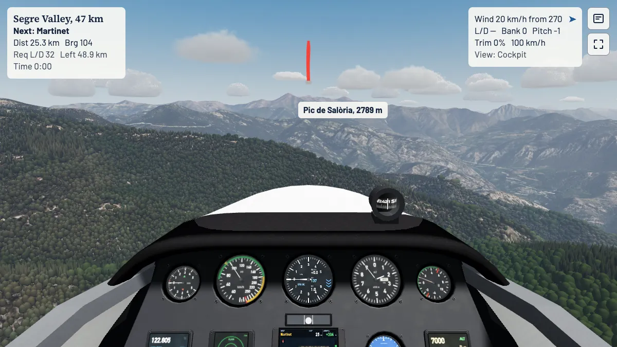
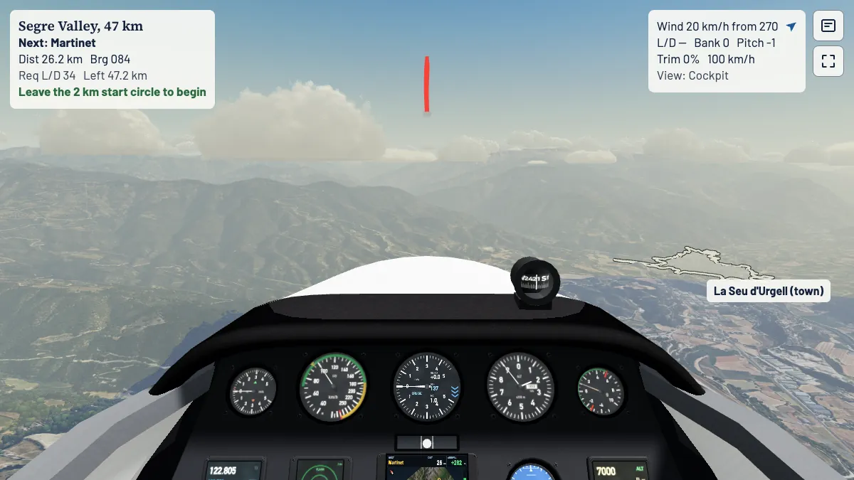
Any place the map knows by name:
The outline is the shape of the place: the built-up area of a town, the shore of a lake, the course of a river, a ridge or valley line, the footprint of a building, the runway of an airfield or a ring round a summit. Where the map has the name in your language, a second line gives it.
The names and shapes come from OpenStreetMap, the open map made by its contributors. They cover all eighteen regions: La Seu d'Urgell, Eschwege, Wasserkuppe, Aalen-Elchingen, Bayreuth, Lake Constance, Dümpel, Grube, Klippeneck, Königsdorf, Laichingen, Linth, Lüsse, Niederöblarn, Oerlinghausen, Celle-Scheuen, Uetersen and Unterwössen, with more than 10,000 places in all.
Map data (c) OpenStreetMap contributors, under the Open Database Licence.
Cross-country flying is navigation by eye. Switch Inspect on to learn a valley: which peak is that, where is the pass, which town lies below. Then switch it off and find your way by what you know.
Open the game, start from the Wasserkuppe and press I.